Context
Industrial consortium : Geo212, Anthropolinks, Pixstart
The Organisation for Economic Co-operation and Development OECD and the Liptako-Gourma Authority (LGA) have been working together since 2018 to identify risks associated with the gold supply chain. [NS1] A workshop organized in 2019 in Niamey by the LGA and the OECD, with security forces (customs, police, magistrates, etc.), mining actors and intergovernmental agencies (UN, Interpol, etc.) concluded that an observatory of artisanal gold mining practices was necessary to support the ALG.
The first phase of this project started in 2022, thanks to the financial support of ESA. It aims to develop a prototype of the observatory to prove the maturity and feasibility of the project, and to refine the expectations of the LGA.
Geo212 has been awarded by ESA to lead an original consortium bringing together a geointelligence company (Geo212), a company of anthropologists, Anthropolinks in charge of governance and Pixstart, a company specialized in AI to automate the identification of mining sites.
Geo212 gathered and produced the geospatial data required for demonstrations, and to feed the GIS platform (mines, violent acts, infrastructures, towns, protected areas, etc.) over an area of 300,000 km² including the 3 LGA countries (Mali, Niger and Burkina Faso).
Geo212 also designed and produced the analytics and decision-support layers visualized on the web platform concerning:
- the violent events and their evolution in time and space (from ACLED or complementary sources).

Figure 1. Analysis of the main areas of activity of JNIM and EI armed groups, and identification of areas of friction between the two groups.
Project description
- the developments in artisanal gold mining activity (based on AI and photo-interpretation)
- the correlations between the development of artisanal gold mining and the development of violence.
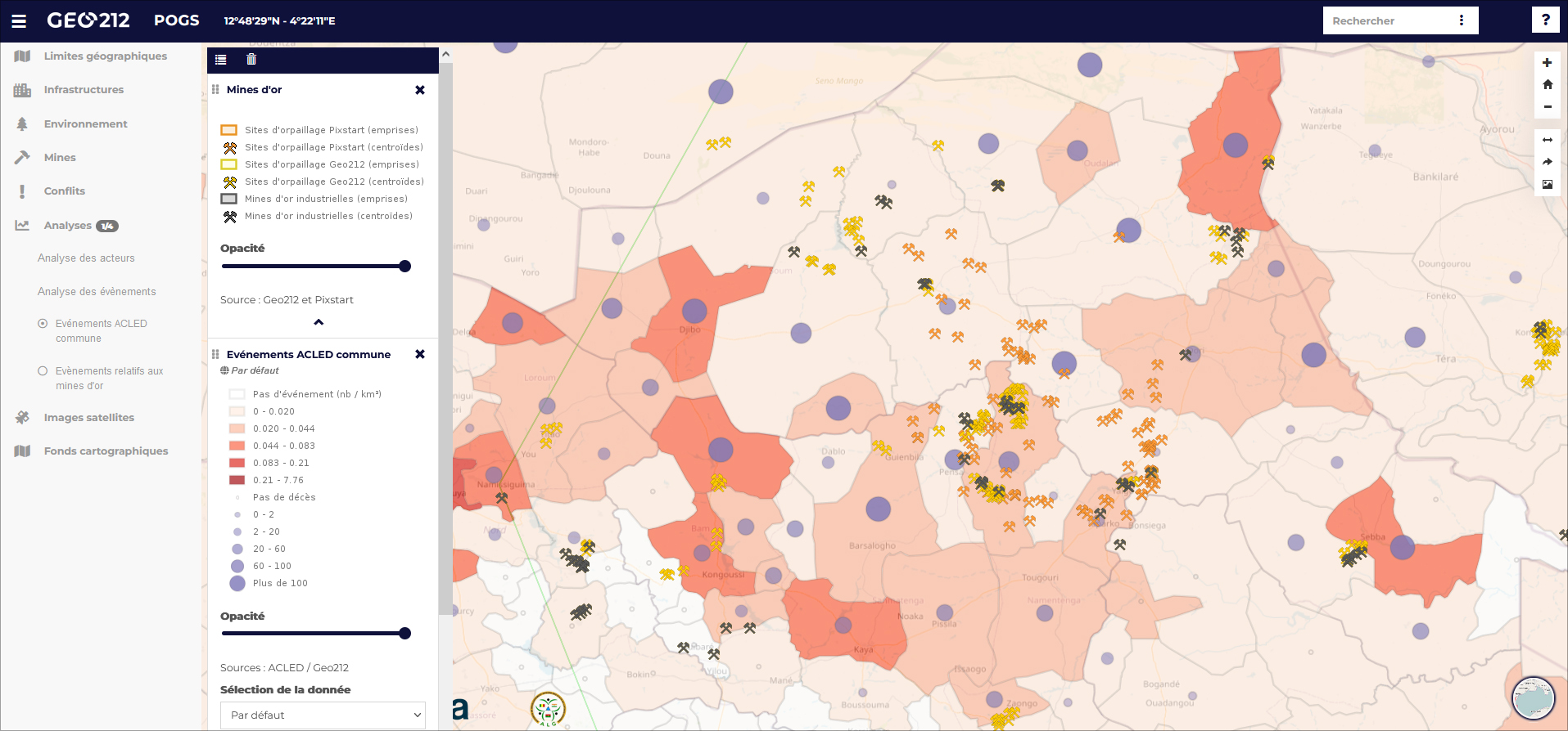
Figure 2. Analysis of the links between violence and gold mining
Our partner PixStart implemented its Artificial Intelligence (AI) tools and demonstrated their ability to detect hundreds of gold mining sites on Sentinel (ESA) images.
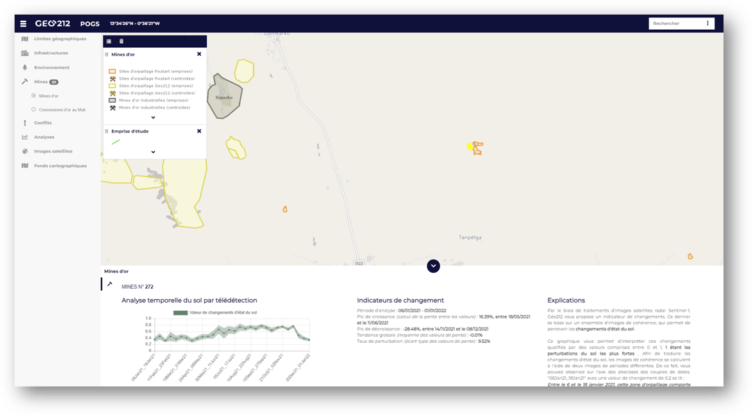
Figure 3. Automatic identification of gold mining sites (in yellow) by AI (Pixstart), qualified by Geo212
Geospatial information is centralized on a secured online platform. The demonstrations held to LGA, ESA and OECD, proved the maturity of the solutions and their operationality.
A roadmap to develop the final observatory has been drawn up. It lists the technical stages to be implemented, the budgets to be allocated and the governance framework (under Anthropolinks responsibility).
Contact
For a demonstration of the platform or further technical or commercial information, please contact Nicolas Saporiti: nicolas.saporiti@geo212.fr