Context
The study contracted by SatCen covers the whole process to implement for offering a change detection service: State of the Art/analysis of change detection algorithms/tools and services, storage platforms and distribution of Sentinel-1 data. It led to the implementation of a ProofOfConcept combining the services provided by the consortium members (SpaceApplications, EOProc, AdviceGeo and Geo212).
Project description
To adjust the processing chain in the most generic way, no auxiliary data is used during the pre-processing of the radar images: only the available processes in the SNAP software are used, with automatic data download of Digital Terrain Model.
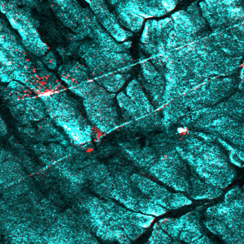
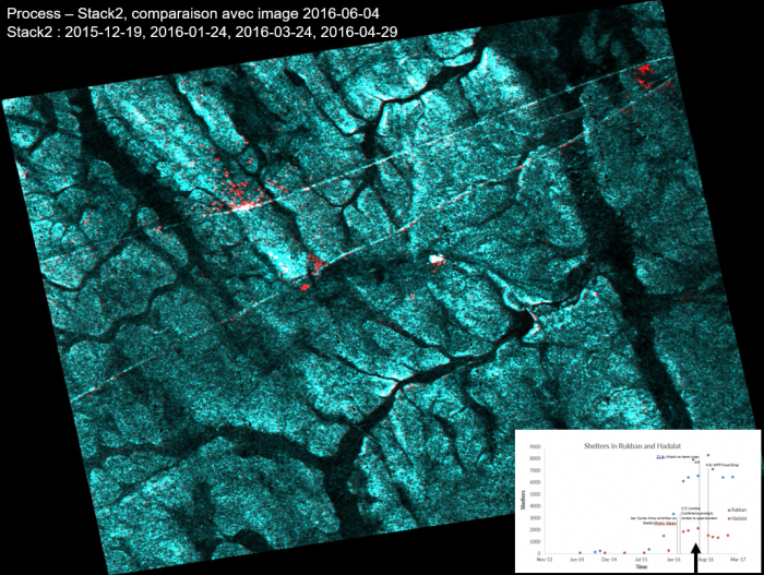
Landscape variations from one date to another are reduced by the use of a time series of four images to generate a starting state of the study area (T0), then we apply multi-temporal noise filtering and averaging for comparison with an image from a more recent state (T1).
The repetitiveness of the satellites allows to create a stack of images per month (4 images are acquired in 36 days in the less covered latitudes) and therefore to analyze the changes at this frequency.
The visualization of raw changes as a colored composition highlights the detected changes but it is sometimes noisy. For this reason, a change indicator in the form of a grid, based on various external data (OCS database), filters and qualifies the raw changes.