Context
GEOSOCLE is part of GEODE 4D program which aims to provide geospatial data to French MoD. Airbus Defence and Space provides orthoimages and elevation models. The areas of interest cover 3 continents and more than 70 million square kilometers, in Europe, Africa, Middle East and Asia, on very diversified geographic domains.
Project description
The project aims to produce a high-resolution satellite imagery basemap, with high planimetric precision. Geo212 provides geographic studies and offers acquisition recommendations to optimize the final satellite imagery basemap.
Physical geography: climate, hydrography, topography, and human footprint: cities, economy, transportation infrastructures, have a big impact on satellite acquisition. Geo212 conducts studies and produces zoning maps to guide satellite acquisitions and then to identify problems in imagery mosaic: incidence angle, occultation rate, obsolescence and seasonal homogeneity.
Various mesh maps are created (from 1 km x 1 km tile to 10 km x 10 km tile): urban footprint, land use constraints, seasonal constraints and obsolescence constraints. These maps were produced over 70 million square kilometers.
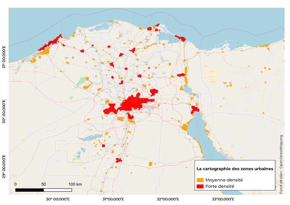
Urban footprint cartography example, north of Egypt, OpenStreetMap basemap
An alert system and monitoring of current and future projects enable to know in real time outdated areas in the satellite imagery mosaic, and help to prioritise the update of the imagery.

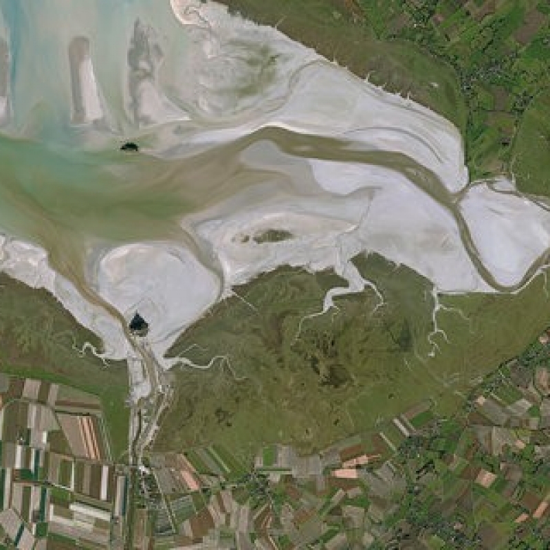
Figure
New fishing harbor in Duqm, Oman